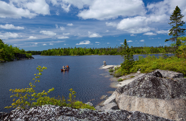
Blue Mountain/Birch Cove Wilderness Area Is a large wilderness reserve with plans to create a full trail system extending from Blue Mountain to Susies Lake. Once/If completed this area will be one of the greatest urban parks in North America. Right now it can be difficult to find your way through the area, and Blue Mountain offers one access point (albeit non-marked). It can be intimidating exploring the area because it isn’t marked and there aren't official trails as yet. Keeping track of your navigating is a must, but you don’t need to be an expert to find your way to the top.
I had been trying to find more info on the path to get to the top of Blue Mountain for a while, and it was not easy to come by. The fact that there isn’t much out there on the path to Blue Mountain, tells you what an unknown gem this place is. It is within a 15 minute drive from the city, in Hammonds Plains. The trail itself takes about 40 minutes to reach the top, and once there you are rewarded with a view of the Halifax Regional Municipality that you likely didn’t know existed. I wouldn’t exactly call it a mountain by the true definition, but it certainly is by mainland Nova Scotia standards. The peak of the mountain is the highest point in the Halifax Regional Municipality.
The walk is not extremely difficult and is almost always easily visible and ocassionally marked with trail flagging so you shouldn’t get lost if you’re paying attention. The land is on Barrett Lumber property and thus is constantly in flux with logging operations.
This is a great outing without having to set aside much travel time. I can imagine that sunsets and sunrises from the top of Blue Mountain would be some of best in the HRM, but I’ve yet to confirm that. It is a fantastic Autumn hike.
Recommended Reading: “Trails of Halifax Regional Municipality”.


0
Log In or Sign Up to add a comment.- 1
arrow-eseek-eNo items to displayFacebook Comments